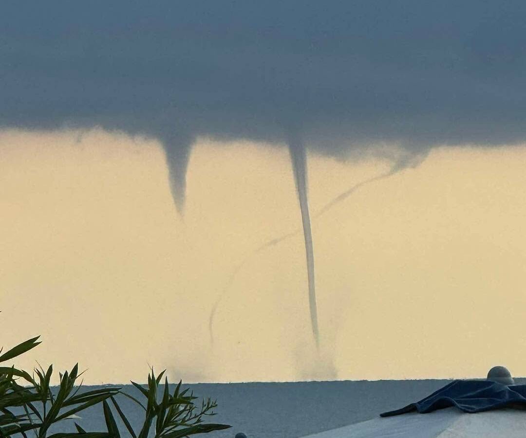
Several waterspouts were spotted this morning off the coast between Riccione and Cattolica. The vortices formed over the sea at around 8 a.m., catching the attention of people along the shoreline at the time.
Meteorologist Roberto Nanni explained what happened. The phenomenon is not unusual for this stretch of sea, he said, but rather linked to residual atmospheric instability concentrated in a storm cloud that was moving away from Romagna at around 8 a.m., heading toward central and southern Italy.
Waterspouts are atmospheric vortices that form above the surface of the sea and can occur even without particularly intense thunderstorms. Warm sea water, by providing heat and moisture to the lowest layers of the atmosphere, can encourage convective motion and contribute to the development of rotation.
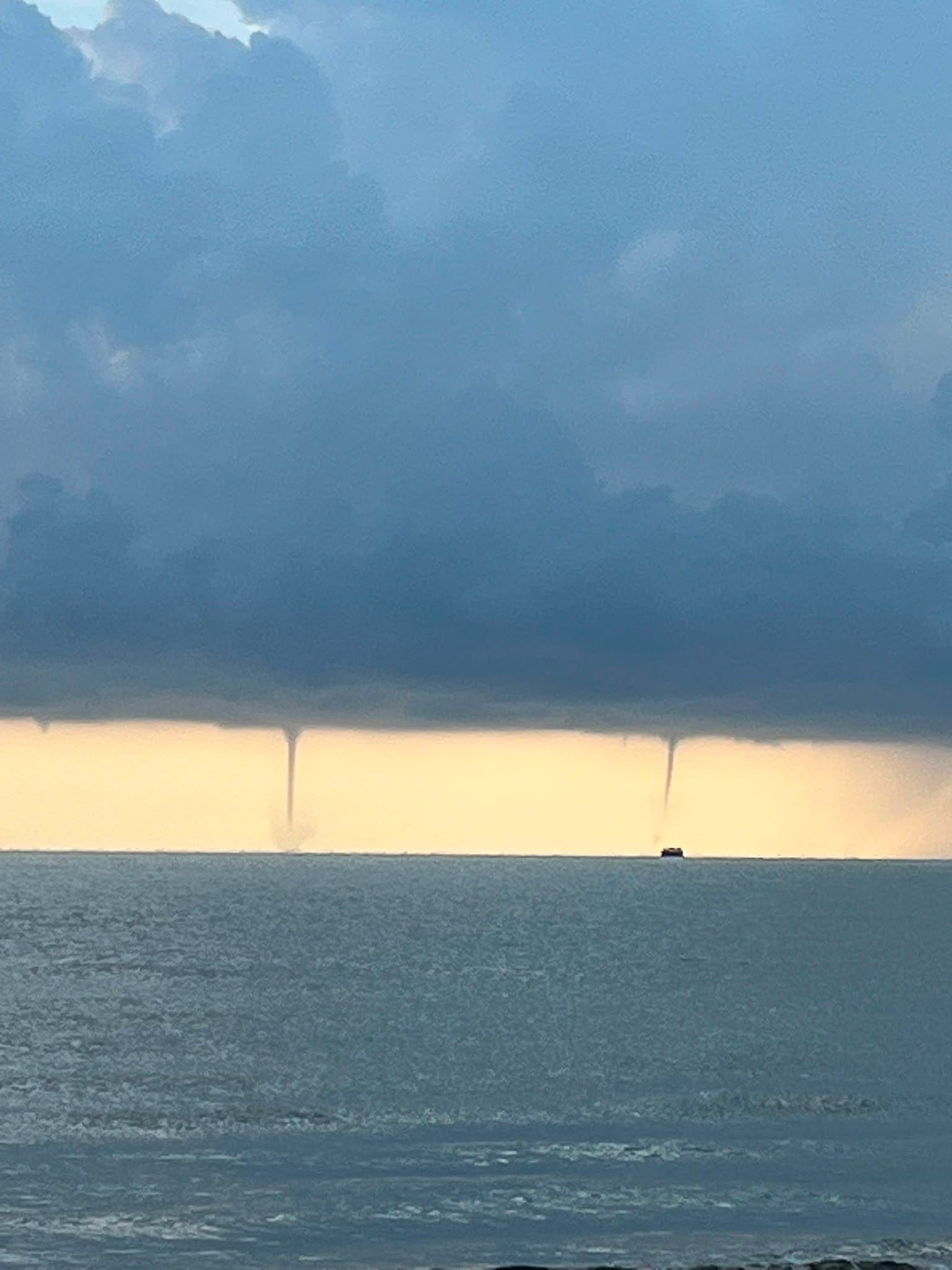
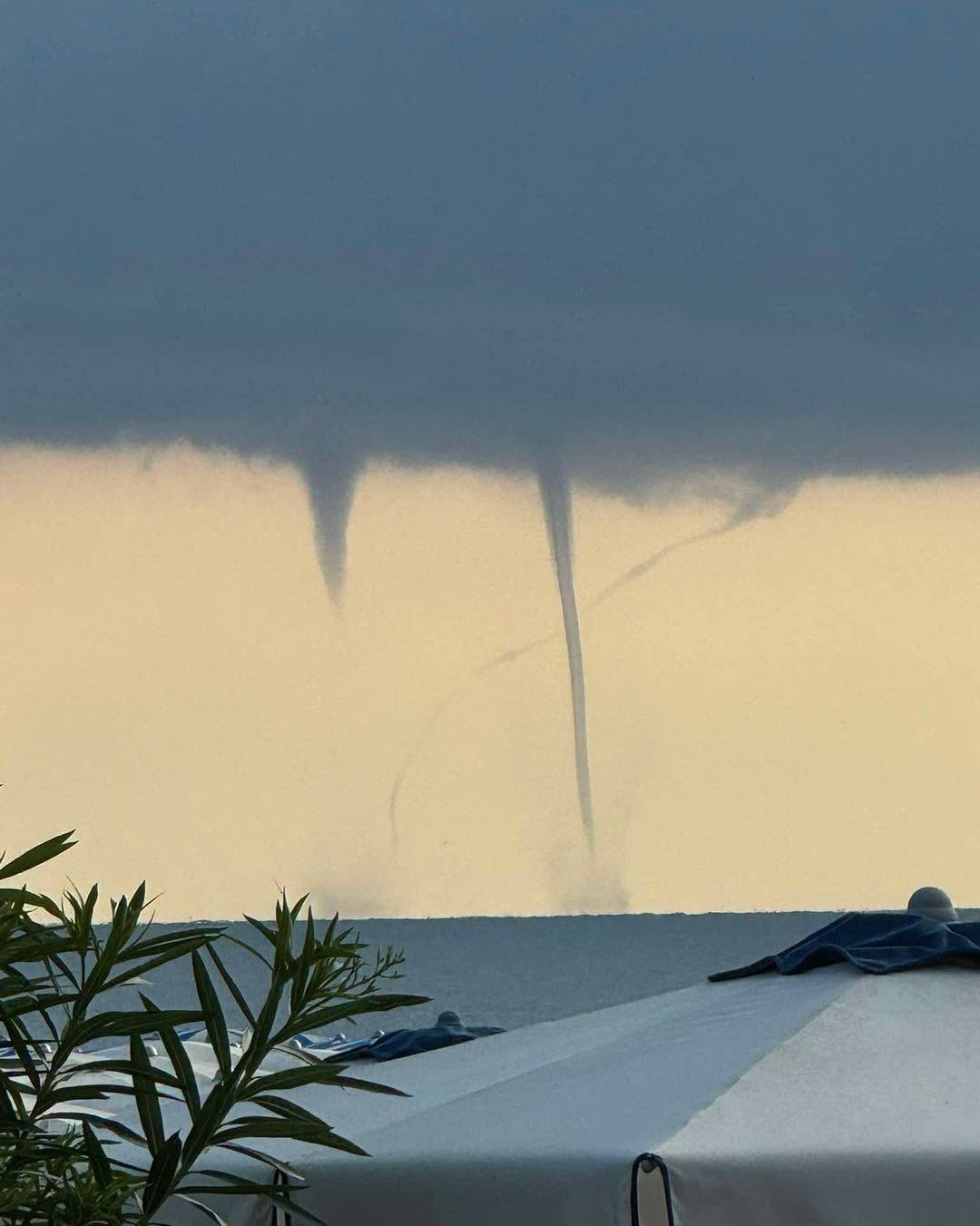
According to Nanni, this morning’s vortices were likely misocyclonic waterspouts, the most common type in the Mediterranean, as opposed to the rarer and potentially more intense tornadic waterspouts associated with supercell storms.
Although they often appear as thin, sinuous structures, waterspouts can generate very strong gusts of wind and become dangerous, particularly if they make landfall along the coast.